Scanning Range
Point Cloud Output
Accuracy
Weight
Official Distributor
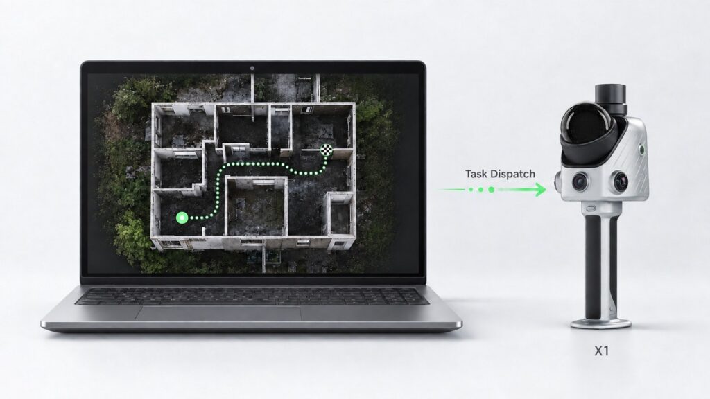
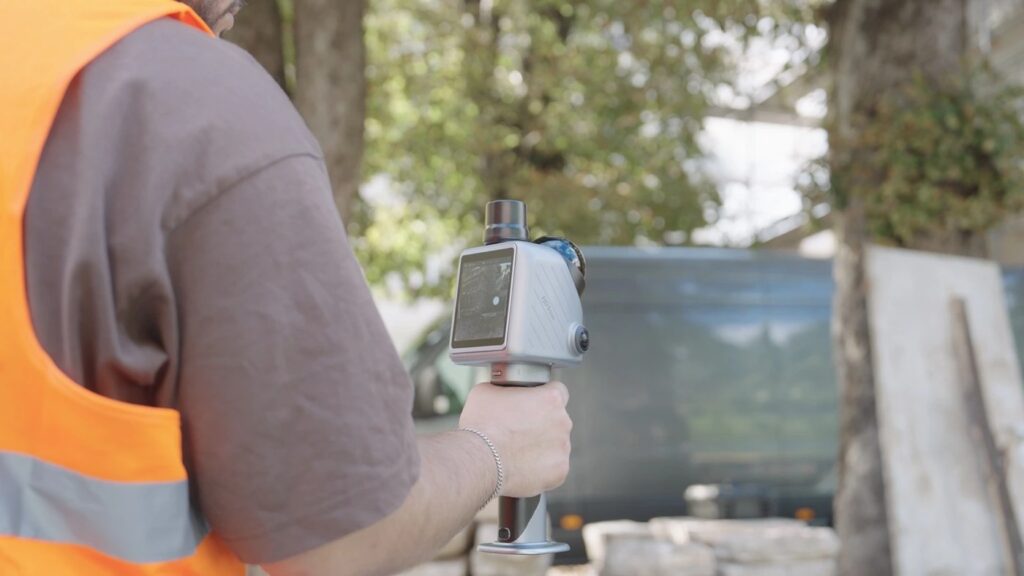
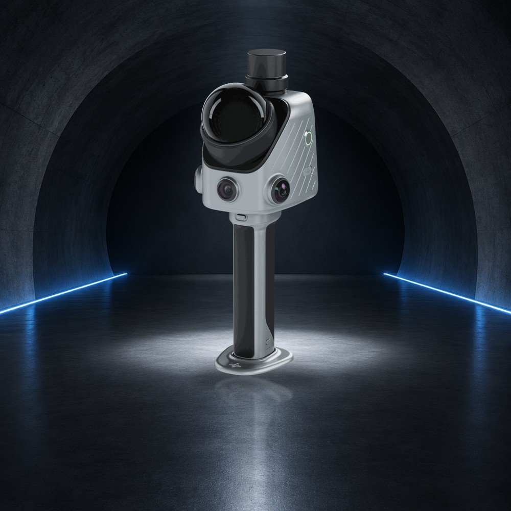
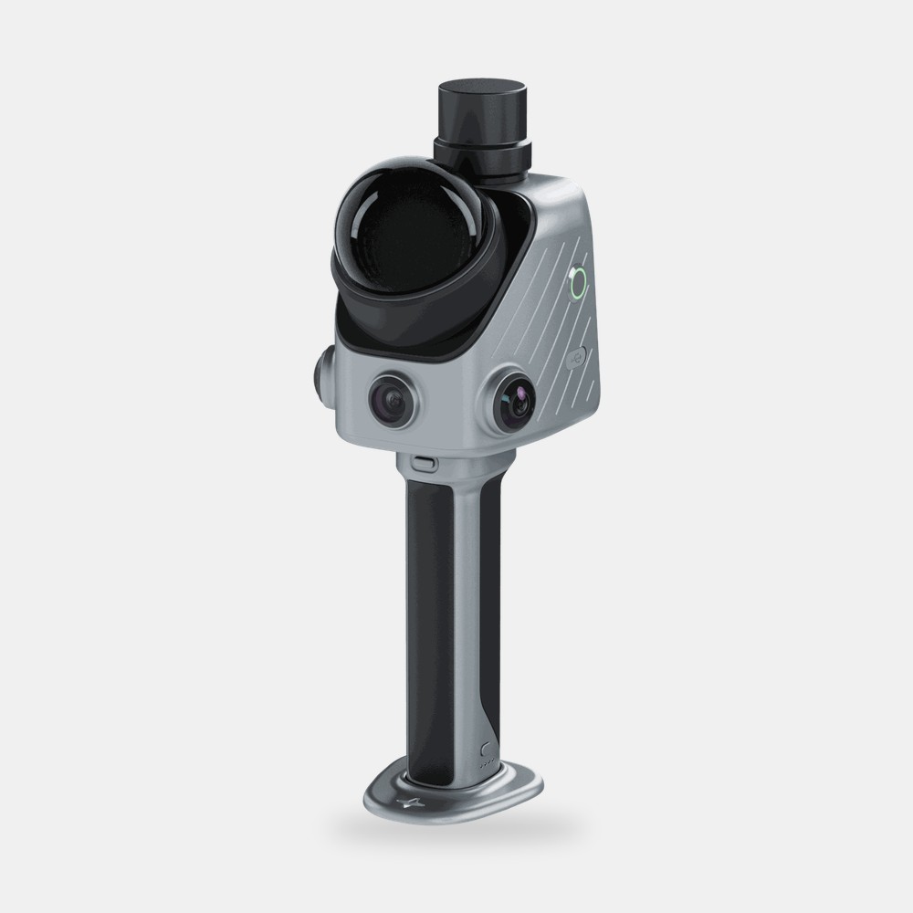
The FJD Trion X1 is a handheld 3D LiDAR reality-capture system for teams that need consistent 3D records across multiple sites, operators and assignments. Planning happens in FJD Trion Model Web: define the area, route and priorities, then sync the task to the X1. The operator follows on-screen guidance, marks issues in the 3D data and records voice notes while scanning. Scan, route, issue markers and transcripts then come together in one cloud-based report.
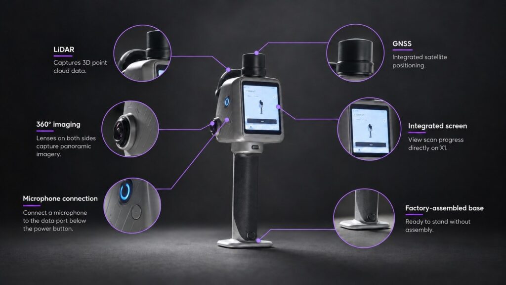
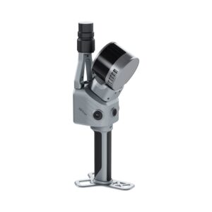
The X1 combines GNSS, LiDAR, 360° imaging and a built-in 3.9-inch OLED screen, and suits construction and as-built documentation, incident records, campus asset records and stockpile volumes.
The Details of The Product
| LiDAR point cloud output | 384,000 pts/s |
| Scanning range | 40 m @ 10% reflectivity; 70 m @ 80% reflectivity |
| Post-processed point cloud accuracy* | Relative ≤ 1 cm; absolute 3 cm |
| LiDAR field of view | 360° × 62° |
| Laser safety | Class 1 eye-safe laser |
| Scan resumption | Supported |
| Front camera | 80° × 44° FOV, 1280 × 1024 |
| Panoramic cameras | 360° × 360° FOV, 2 × 48 MP |
| Visual SLAM | Supported |
| Image export | Supported (JPG) |
| Display | 3.9-inch OLED, 1280 × 1024 |
| Battery life | Up to 5 hours with one set of two batteries |
| Power supply / consumption | DC handheld battery / approx. 18 W |
| Charger | 67 W fast charging, simultaneous dual-battery charging |
| Dimensions | 114 × 152 × 329 mm |
| Weight | Main unit 900 g; full setup 1.3 kg |
| Storage | 512 GB, expandable to 1 TB |
| Operating / storage temperature | -20 °C to 50 °C / -40 °C to 60 °C |
| Ingress protection | IP54 |
| Data export | Wireless network, USB Type-C, USB flash drive |
| Point cloud formats | LAS, PLY, PTS, E57 |
*Lab-tested accuracy. Actual results may vary depending on environment, workflow and operating conditions.
Define the area, plan the route and set priorities in FJD Trion Model Web, then sync the task straight to the operator’s X1. The operator receives it on the device and follows step-by-step prompts.
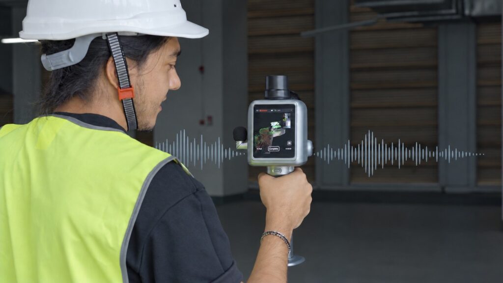
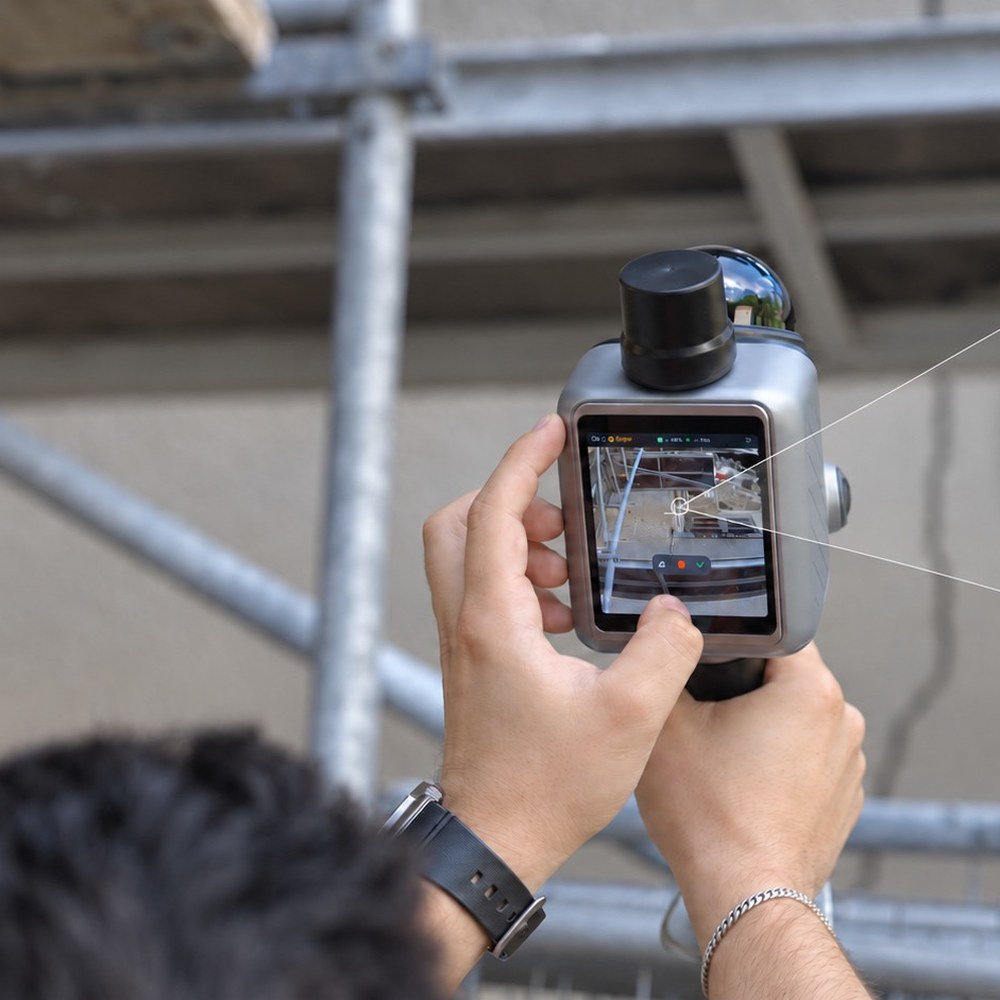
Follow on-screen route guidance while scanning, then use the crosshair to link each issue to its exact location in the 3D data.
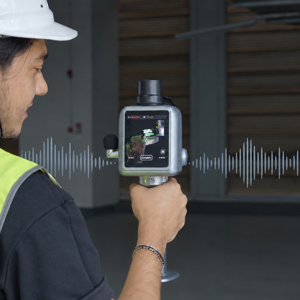
Record field observations in any language. The X1 captures voice notes during scanning, and Model Web transcribes them for review. An external microphone is supported.
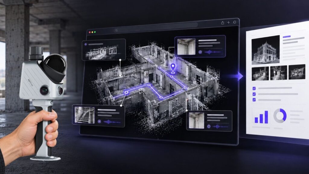
Bring the scan, route, issue markers and transcripts together in FJD Trion Model Web, then generate a report ready to review, share and act on.
The X1 combines GNSS, LiDAR, 360° imaging and a built-in screen, with support for an external microphone. The factory-assembled base keeps setup to a minimum.
Keep calls and notifications out of the scanning workflow. The X1 shows operators where they are aiming and what they are capturing, directly on its built-in display.

Construction, renovation, MEP and as-built documentation

3D and panoramic records for incidents and investigations

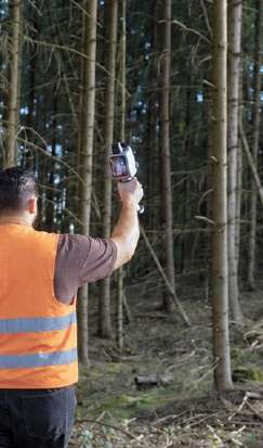
Urban tree, campus road, green belt and landscape records

3D volume records with GNSS-assisted positioning and georeferencing
The FJD Trion X1 is a handheld 3D LiDAR scanner that combines GNSS, LiDAR, 360° imaging and a built-in 3.9-inch OLED screen. It is built around assigned capture tasks, with on-screen route guidance, issue marking and voice notes, so teams collect consistent 3D records across sites and operators.
Plan the area, route and priorities in FJD Trion Model Web and sync the task to the X1. The operator follows on-screen guidance, marks issues with a crosshair and records voice notes while scanning. Model Web then combines the scan, route, markers and transcripts into a report that can be reviewed and shared.
FJD lists construction, renovation, MEP and as-built documentation, forensic and incident records, urban tree and campus asset records, and material yard and stockpile volume records. For these jobs the X1 brings LiDAR, GNSS and 360° imaging together in one handheld unit with a built-in screen.
© 2026 MAKE3D. All rights reserved.