DESIGN
INSPECTION
LIDAR

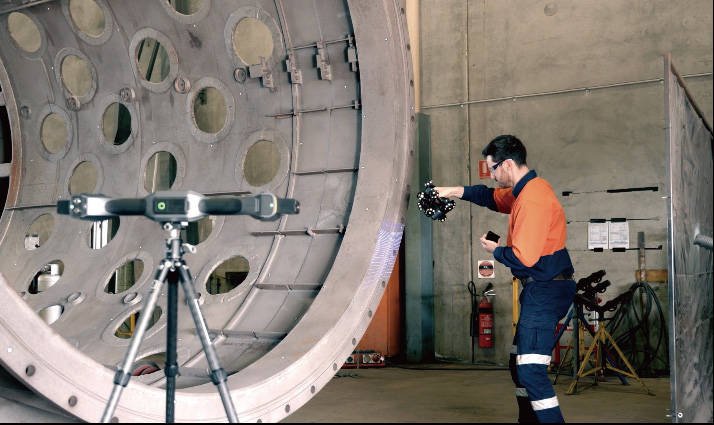
Laser-accurate scans of parts, tooling and sites, delivered as mesh or point cloud.
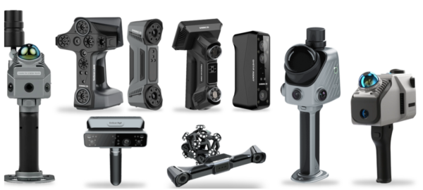
Prefer to bring it in-house? We supply the scanners, printers and software we use.
See equipment
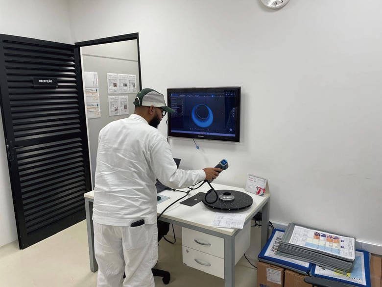
Component inspection, damage assessment and reverse engineering of legacy parts.
Prefer to bring it in-house? We supply the scanners, printers and software we use.
See equipmentDESIGN
INSPECTION
LIDAR

Laser-accurate scans of parts, tooling and sites, delivered as mesh or point cloud.
Prefer to bring it in-house? We supply the scanners, printers and software we use.
See equipment
Component inspection, damage assessment and reverse engineering of legacy parts.
Prefer to bring it in-house? We supply the scanners, printers and software we use.
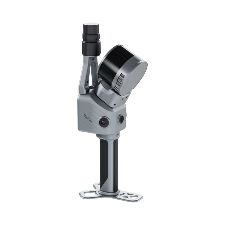
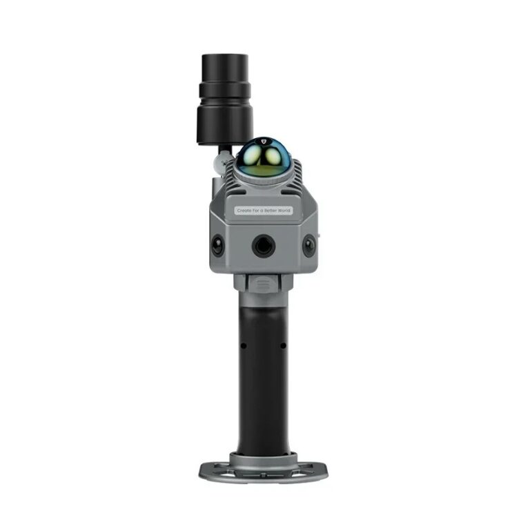
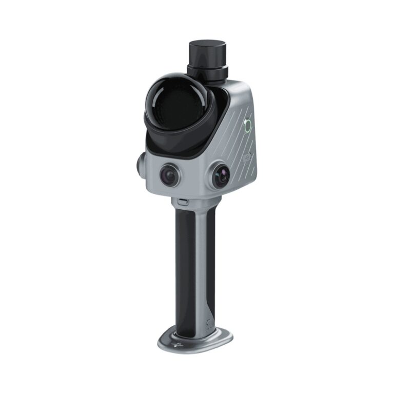
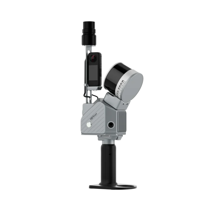
See equipmentMAKE3D supplies the equipment for 3D laser scanning and as-built capture in Singapore. As the Official Distributor of FJD Trion, we offer handheld SLAM LiDAR scanners that capture rooms, plants, tunnels and outdoor sites as colour point clouds, ready to bring into CAD or BIM software. The Trion range runs from the 890 g V4e to the P2, X1, S2 and the hybrid T1. You can buy a scanner, or ask us to capture your site with our 3D scanning service. Tell us the site size and the deliverable on WhatsApp and we will recommend a model and a demo.
Scan-to-BIM turns a point cloud of an existing building or plant into a BIM model. The steps are capture, registration, clean-up, then modelling in your BIM or CAD software. A handheld SLAM scanner does the capture step quickly, so a team can scan a floor in a walk-through instead of setting up a tripod at every position.
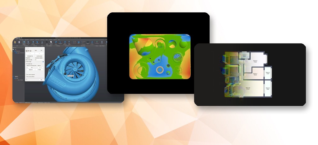
FJD Trion Model, the desktop software for the range, handles registration, colourising, sections and volumes, supports E57 and RCS/RCP point-cloud formats, exports to DWG/DXF, and has a Revit plug-in for sync with Revit. Floor-plan extraction and 3D drawing are in its Drawing plan. Choose the deliverable first (point cloud, floor plan, BIM model) because it decides the scanner, the accuracy you need and the software plan.
In practice buyers use both terms for the same job: capturing a space with laser ranging. The difference that matters is how the scanner is held. A handheld SLAM scanner is walked through the space, positions itself from the scene, and works indoors and underground without GNSS. A terrestrial laser scanner sits on a tripod and captures from fixed stations.
The Trion T1 covers both: a mobile mode and a terrestrial mode, with terrestrial accuracy of 4 mm at 10 m (manufacturer value). Choose handheld for speed and coverage, and terrestrial mode when a room or facade needs higher local accuracy. For sites with a clear sky, RTK/PPK GNSS on the P2, S2 and T1 adds absolute positioning.
For most as-built work we suggest the Trion P2, which pairs a light 700 g scanner unit with 200,000 points per second and relative accuracy up to 1 cm. Choose the X1 for team-managed jobs, the S2 for large sites, and the T1 when millimetre detail matters. The table uses the figures on our product pages (lab-tested, manufacturer values).
| Model | Best for | Stated specs |
|---|---|---|
| FJD Trion V4e | Lightweight BIM and asset capture with a smartphone | 890 g; range up to 50 m; 154,600 points/s; relative accuracy up to 1 cm |
| FJD Trion P2 | Everyday as-built capture | 700 g scanner unit; 200,000 points/s; 40 m at 10% reflectivity; relative accuracy up to 1 cm; dual 48 MP side cameras; integrated GNSS (RTK/PPK) |
| FJD Trion X1 | Guided capture for teams, incident documentation, stockpiles | 384,000 points/s; relative accuracy 1 cm or better; 3.9-inch OLED screen; 900 g main unit |
| FJD Trion S2 | Large sites and surveys with RTK/PPK | 640,000 points/s; dual 48 MP cameras; range 120 m (Pro), 300 m (Max) |
| FJD Trion T1 | Mobile plus tripod mode where detail matters | Mobile range 0.5 to 120 m, relative accuracy 1 cm or better; terrestrial 4 mm at 10 m; 640,000 points/s; IP54 |
| 3DMakerPro Raven | Lower-cost handheld LiDAR for interiors and visualisation | 1.1 kg; accuracy up to 20 mm; 150,000 points/s |
Equipment


A LiDAR scanner's cost is driven by range, point rate, accuracy class, cameras for colour, GNSS/RTK, and the software plan that processes the data. We do not publish prices because the package differs by job. A quote lists the scanner, the Trion Model plan, accessories, training and warranty separately.
If you scan occasionally, a one-off capture through our 3D scanning service avoids the equipment spend. If scanning is regular, owning a scanner is usually better. Send us your typical site size and deliverable on WhatsApp and we will quote either route. Ask about demos and local support at the same time; the scanners come with a 1-year warranty.
Typical uses are as-built records for renovation, floor plans, digital twins of plants, tunnels and underground spaces, stockpile and volume calculation, forestry, and incident documentation. Because SLAM works without satellite signals, it suits basements, car parks, plant rooms and tunnels where GNSS fails. For machinery and parts, a metrology scanner is the better tool; see our 3D inspection solutions.
Video
Tell us the site size, the deliverable (point cloud, floor plan, BIM) and the accuracy you need. We will recommend a Trion model and arrange a demo.
MAKE3D supplies FJD Trion handheld LiDAR scanners in Singapore, with demos, training, local repair and servicing and remote support. The range includes the V4e, P2, X1, S2 and T1. Contact us on WhatsApp to arrange a demo at our office or your site.
Cost depends on range, point rate, accuracy, colour cameras, GNSS and the software plan, so we quote the full package rather than list prices. A one-off site capture through our scanning service is an alternative if you scan only occasionally. WhatsApp us your site size and deliverable.
A LiDAR scanner measures distance with laser pulses and suits rooms, buildings and sites. A 3D scanner for parts uses structured light or laser lines to capture small objects at much finer detail. For parts and machinery choose a metrology scanner; for spaces choose LiDAR. We stock both.
Yes, for the capture step. A handheld SLAM scanner records the building as a point cloud, which you register and import into BIM or CAD software; FJD Trion Model exports common formats and has a Revit plug-in. The modelling step is done in your BIM software, and the Trion Model Drawing module adds floor-plan extraction and 3D drawing for scan-to-BIM.
Yes. Trion handheld scanners use SLAM to track position from the scene itself, so they work indoors, underground and in tunnels without satellite signals. Add RTK/PPK GNSS outdoors when you need absolute coordinates.
Our Trion models state relative accuracy of 1 cm or better (lab-tested), and 3 cm absolute with RTK where GNSS is available. The T1 states 4 mm at 10 m in terrestrial mode. Real results depend on the environment and workflow; ask us for a demo on your site.
Yes. Our on-site 3D scanning service can capture your site and deliver point clouds. We do not issue licensed land or cadastral surveys; tell us your purpose and we will confirm what we can deliver.