Hybrid Scanning
Mobile Range
Terrestrial Accuracy
Scan Speed

Official Distributor
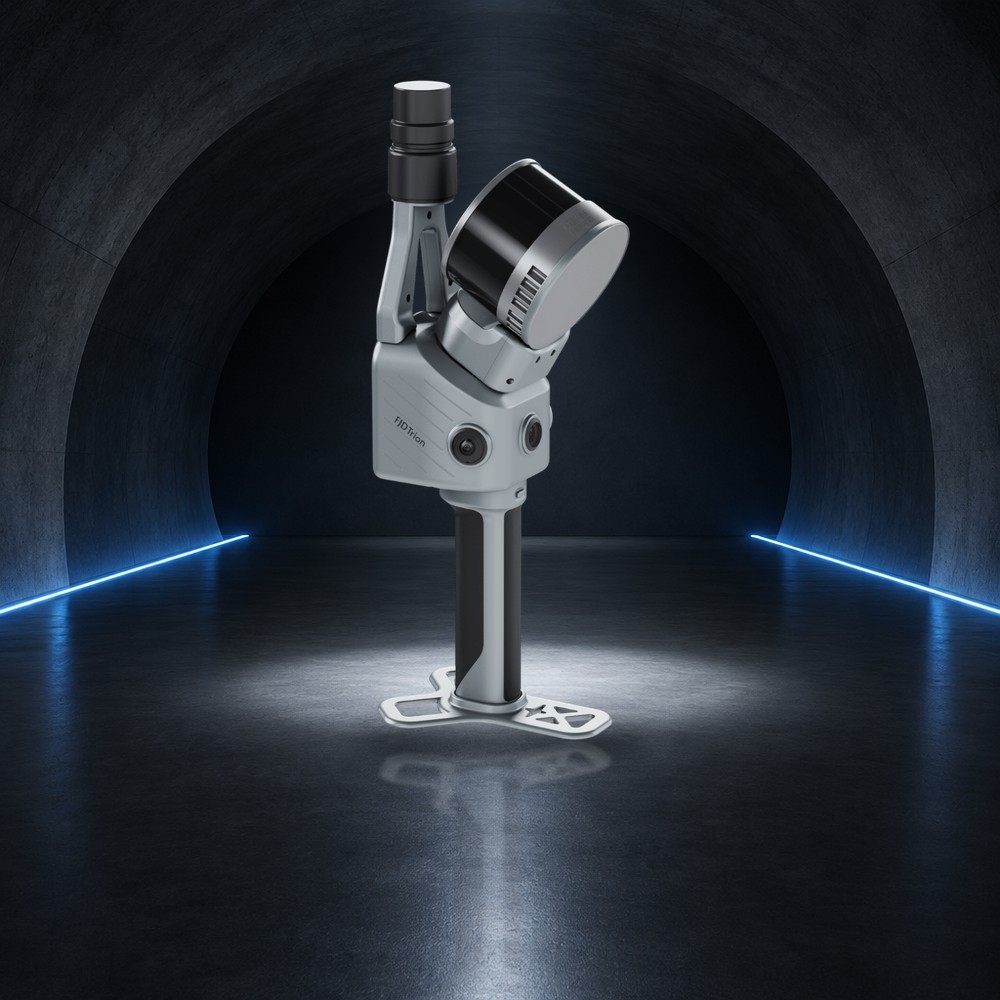
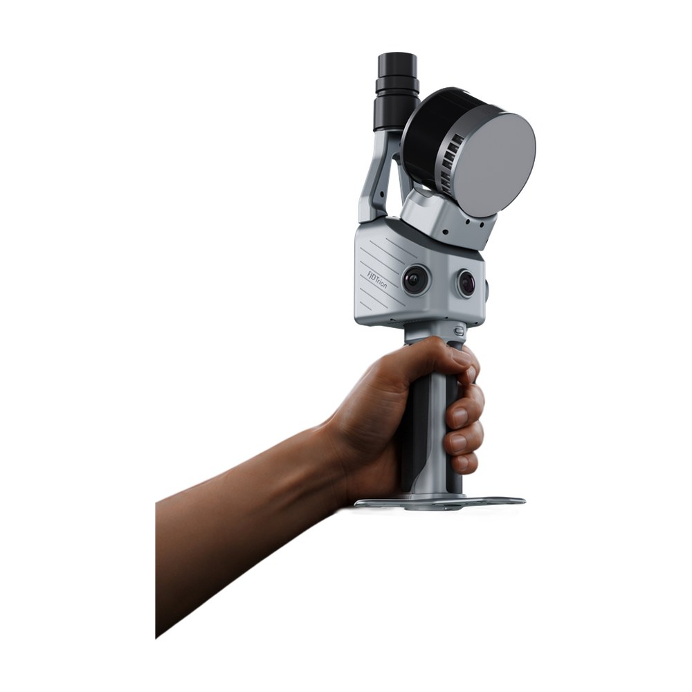
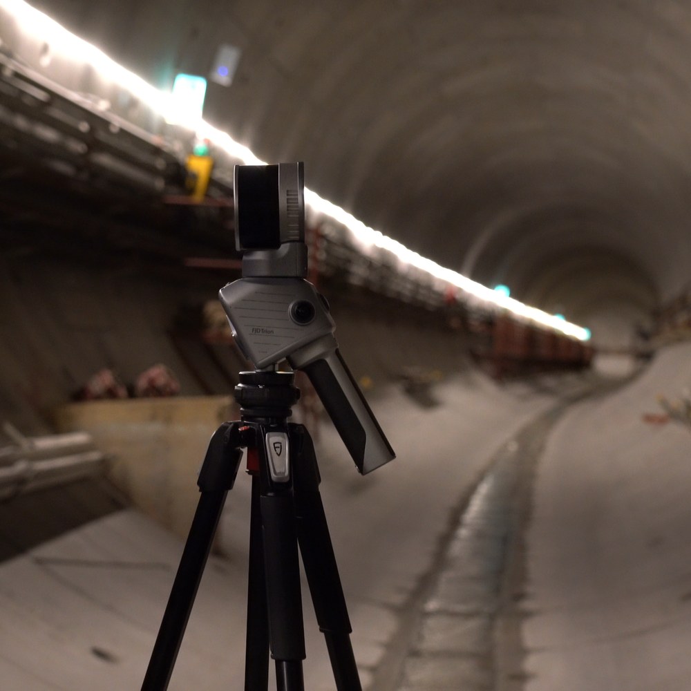
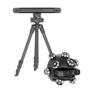
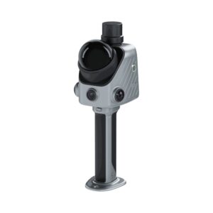
The FJD Trion T1 is a hybrid LiDAR scanner that works in two modes. In Mobile Mode you carry it by hand or mount it on a vehicle or drone to cover large, complex sites quickly, with a scanning range of up to 120 m and relative accuracy of ≤1 cm. For critical areas, put it on a tripod in Terrestrial Mode for fixed-station scans at 4 mm accuracy at 10 m.
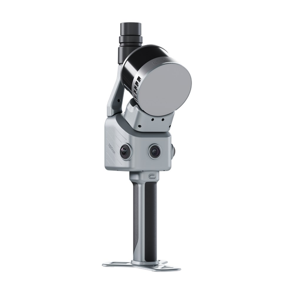
RTK, built-in cameras and LiDAR are integrated into one modular unit weighing 1.65 kg. Process the data in FJD Trion Model software, mobile and terrestrial scans separately or fused into one point cloud. It suits architecture and construction, infrastructure, mining, forestry, industrial engineering and surveying.
The Details of The Product
| Modes | Mobile Scanning · Terrestrial Scanning |
| Relative accuracy | Mobile ≤1 cm · Terrestrial 4 mm @ 10 m, 8 mm @ 30 m |
| Scanning range | Mobile 0.5–120 m · Terrestrial 0.5–60 m |
| LiDAR range | 120 m @ 80 % reflectivity; 80 m @ 10 % |
| Scan speed | 640,000 pts/s |
| LiDAR FOV / wavelength / safety | 360° × 270° · 905 nm · Class 1 |
| Imaging unit | 3 cameras, 48 MP, 360° × 235°, f/2 |
| Vision unit | 1 camera, 1080p RGB, 80° × 47°, f/2.2 |
| Active cameras | Mobile: 1 × 1080p + 2 × 48 MP · Terrestrial: 3 × 48 MP |
| GNSS | BDS / GPS / GLONASS / Galileo / QZSS; RTK H 8 mm + 1 ppm, V 15 mm + 1 ppm RMS; PPK supported |
| Battery | 43.2 Wh, 3.5 h with dual handles |
| Power supply / consumption | Handle battery + DC power · 24 W |
| Storage | 512 GB, expandable to 1 TB |
| Data export | Wi-Fi, USB Type-C |
| Weight | 1.65 kg (main unit); 2.23 kg with battery, base and RTK |
| Dimensions | 108 × 173 × 433 mm |
| Operating temperature | −20 °C to 50 °C |
| IP rating | IP54 |
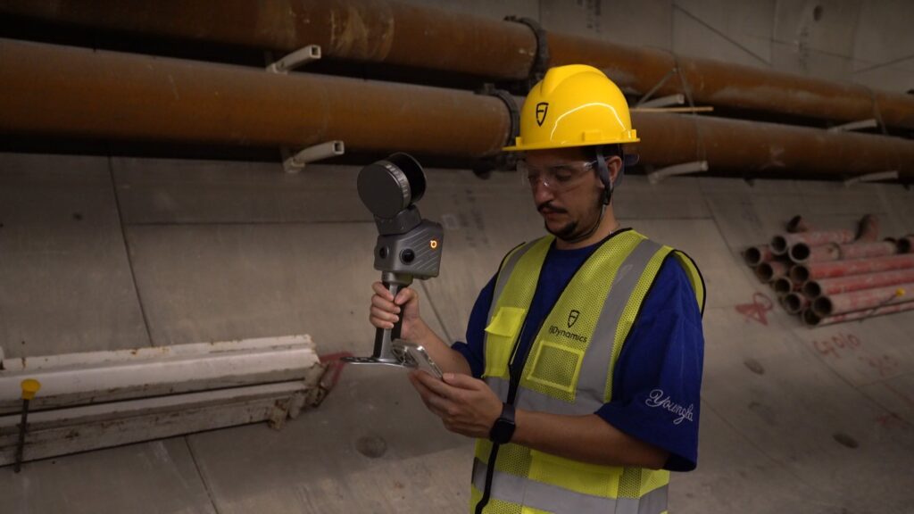
Efficiency and precision should not be an either-or choice. Move through large sites in Mobile Mode for complete coverage, then switch to Terrestrial Mode where higher local accuracy matters. RTK, cameras and LiDAR are integrated in one modular system for quick on-site setup.
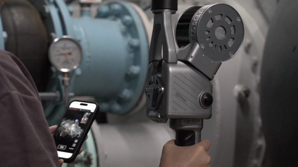
Move through large, complex environments with handheld, vehicle-mounted or airborne capture. Range of up to 120 m and relative accuracy of ≤1 cm.
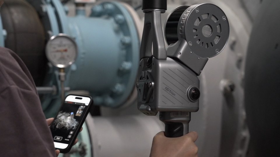
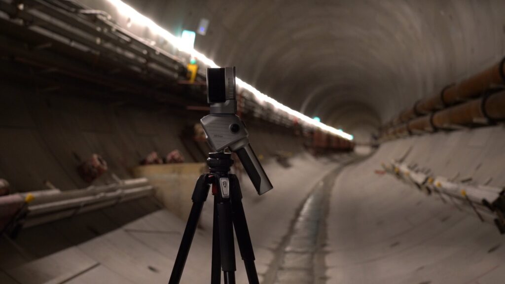
For critical areas, or where mobile SLAM may be less reliable, place the T1 on a tripod for fixed-position capture. Relative accuracy is 4 mm at 10 m and 8 mm at 30 m, with a range of up to 60 m. Capture a station in as little as 30 seconds, or choose higher density in up to 2 minutes, at the same rated accuracy.
View the colourised point cloud in real time in 2D or 3D, so you can review the scan and spot coverage gaps before leaving the site.
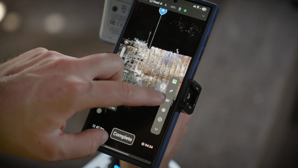
Scan for up to 1 hour in a continuous session. Scan large sites in stages or return later for updates: match a previously scanned area on site and the software combines the data automatically, with no manual point cloud stitching.
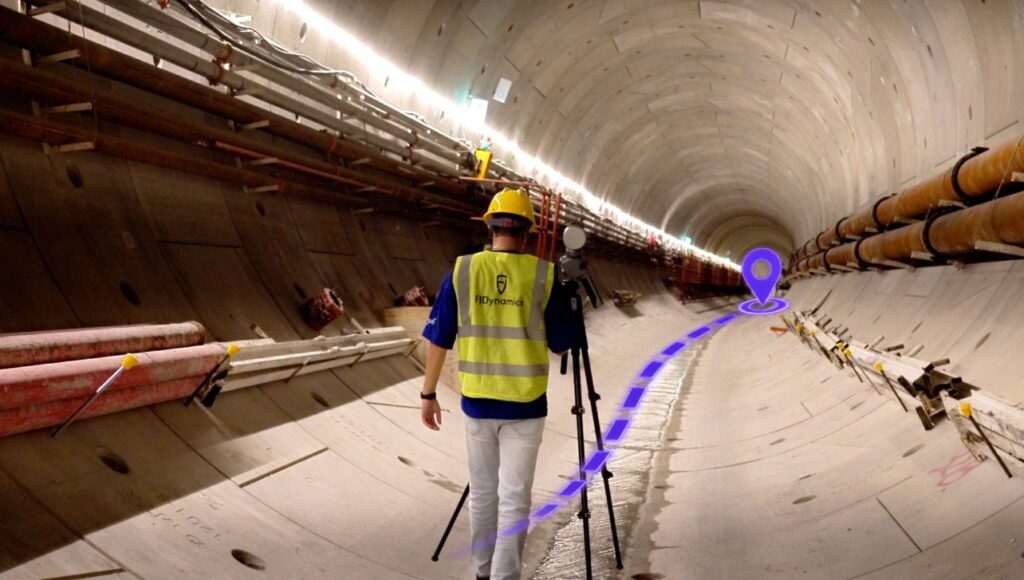
As you move between stations, multi-sensor SLAM records their spatial relationships, helping align scans from different stations more efficiently in post-processing.
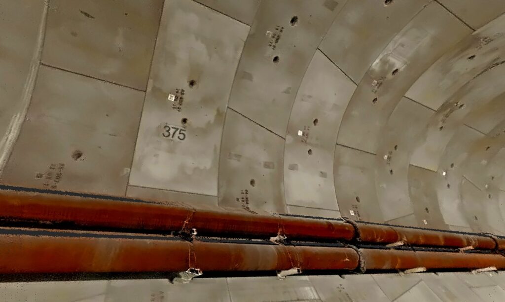
Three 48 MP cameras deliver 360° panoramas and richly coloured point clouds.
FJD Trion Model handles point cloud processing, mesh, 3DGS, CAD/BIM, cross-section analysis, forestry analysis and more. FJD Trion Model Web adds cloud-based access, sharing and delivery for teams across locations. Process mobile and terrestrial scans separately, or fuse them into one point cloud.
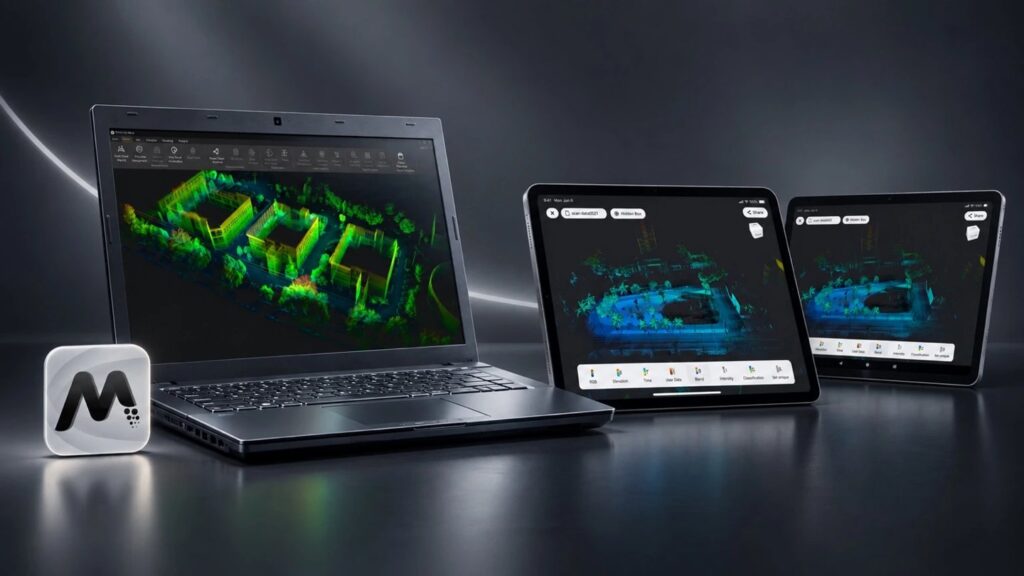

Architecture & Construction · Industrial Engineering · Infrastructure Engineering · Forestry · Mining & Quarrying · Surveying & Mapping.
The FJD Trion T1 is a hybrid LiDAR scanner with two modes. Mobile Mode covers large sites handheld, vehicle-mounted or airborne, with up to 120 m range. Terrestrial Mode uses a tripod for fixed-station scans at 4 mm accuracy at 10 m. One unit therefore covers the whole project.
Mobile Mode is for fast, site-wide coverage, with relative accuracy of ≤1 cm and range up to 120 m. Terrestrial Mode is tripod-based for critical areas, giving 4 mm accuracy at 10 m and 8 mm at 30 m. Both scan types can be processed separately or merged into one point cloud.
It works with FJD Trion Model for point cloud processing, mesh, 3DGS, CAD/BIM, cross-section and forestry analysis. FJD Trion Model Web adds cloud-based access, sharing and delivery. Scans from sequential sessions combine automatically when you match a previously scanned area, so no manual stitching is needed.
© 2026 MAKE3D. All rights reserved.